Le Perthus / Argelès sur Mer
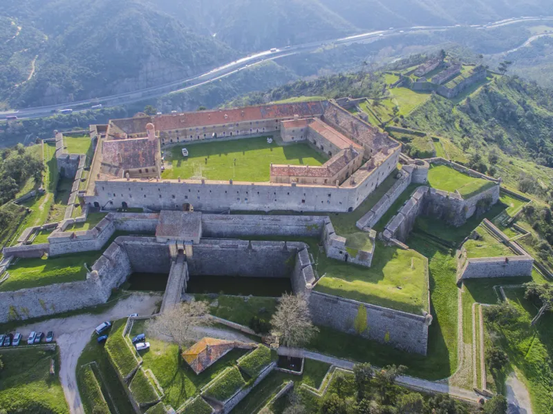
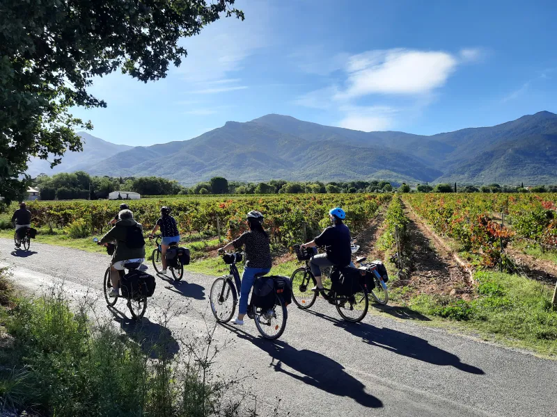
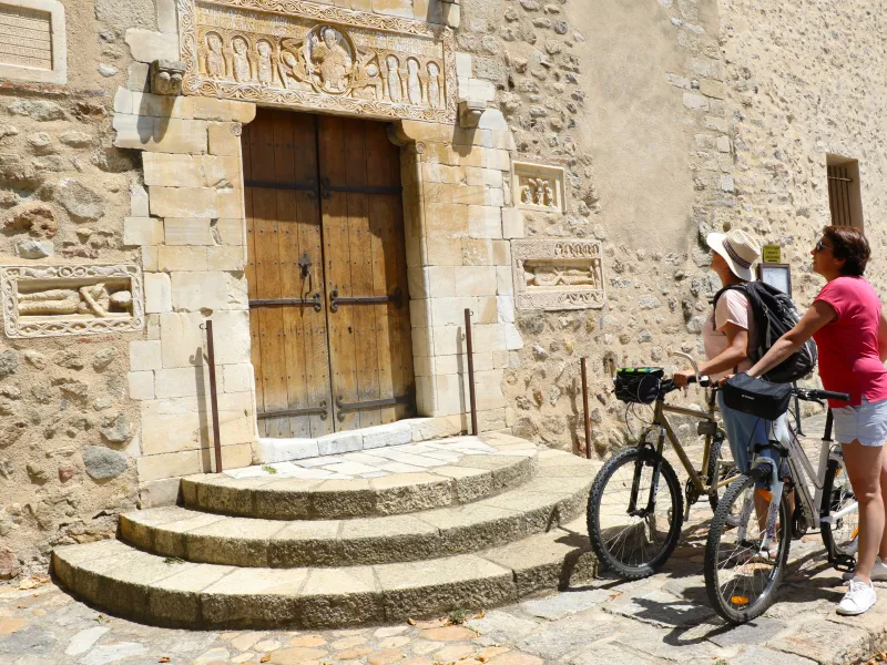
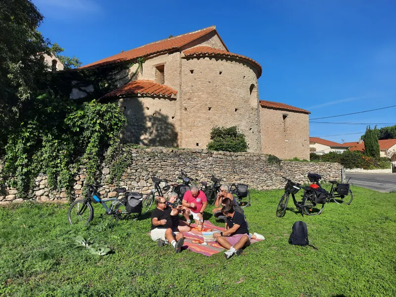
The cycling adventure along the Méditerranée à Vélo starts in the Pyrenees. Getting in the saddle at Le Perthus, be prepared for a demanding rhythm at the start. Make the effort to climb to Bellegarde Fort to enjoy its vast views over the Catalan mountains. Then the way becomes easier as you descend along what feels like a giant toboggan – in fact a cement track, followed by the D13C county road – whisking you down through dense forests. You’re never far from the Tech River, its valley guiding you to the sea. Then a very straight path leads you to Argelès. Branch off to explore the charming villages just off the cycle path.
Gradients and elevation
Road types
Surface
The route
Signposting is already in place from the Col de Panissars on.
Le Perthus Tourist Office or its adjoining car park by Rue de l’Eglise are useful places from which to start. Note that the D900 road is used by an enormous amount of traffic travelling between France and Spain, so avoid it, especially in high summer.
There’s a steep 17% ascent to tackle along the first few hundred metres to reach the Panissars Pass.
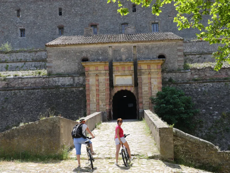
Add on an extra 300m ascent to climb to Bellegarde Fort.
Then a cement firebreak track (DFCI) and the D13C county road provide a long descent to Maureillas-las-Illas.
To reach the Mediterranean, the Voie Verte Pyrénées-Méditerranée greenway leads you alongside the D618 road up to the entrance to the resort of Argelès-sur-Mer.
Signposting is being put in place at Argelès.
Smooth surfaces: tarmac or cement tracks between Le Perthus and Argelès-sur-Mer. Cement stretches at the start of the Col de Panissars (except for 100m of ordinary road surface) and for the fords along the D618 road.
Rough surfaces: on a stretch through Argelès-sur-Mer at the level of La Ribera de les Conques and along the seafront.
Link via Pirinexus
To join the Méditerranée à Vélo route at the Spanish end, first you will most likely need to take the train to Figueres, from there climbing into the Pyrenees to reach Le Perthus, the village that officially marks the start of the route.
So on the Spanish side, EuroVelo 8 makes use of the cross-frontier Pirinexus cycle route. From Figueres TGV high-speed train station, for the time being, there is no signposting to join the Pirinexus link. From the third round-about leaving the train station, the easiest way is to join the GIV-5106 to the right, then at the next gyratory, take a left onto the N260 road towards La Rambla de Figueres. Arriving opposite La Rambla square, do go up left to see the Dali theatre-museum and the Galatea Tower. Also explore the pedestrian streets.
Next, direction Peralada, going along the quiet C252 road, redone after Vilabertran. Consider a pause to visit Santa Maria de Vilabertran Abbey.
Only once you reach Peralada do you pick up signposting for the Pirinexus cycle route. Continue on to the frontier marked by the Col de Panissars.
PRACTICAL INFORMATION
Tourist Offices
Office de tourisme de Le Perthus
33 (0)4 68 54 27 53
Office de tourisme de Le Boulou
33 (0)4 68 87 50 95
Bureau d’informations touristiques de Maureillas-las-Illas
33 (0)4 68 21 61 27
Office de tourisme d’Argèles-sur-Mer
33 (0)4 68 81 15 85
SNCF / Renfe train stations
Figueres Vilafant station (in Spain) – on the TGV high-speed line Paris <> Barcelone
Argelès station
Collioure station
Trains and transport on the route
Attention : à partir du mois de mai et jusqu'en septembre, la réservation d’un emplacement vélo est obligatoire à bord des trains. Pour les dates précises et pour toutes les informations, consultez la page dédiée du site SNCF.
- Gare SNCF d’Argelès-sur-mer