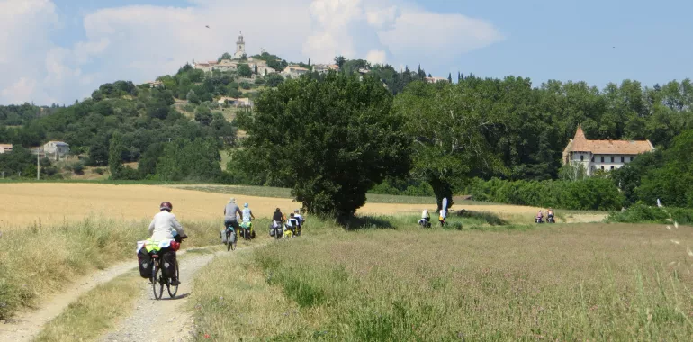
82,73 km cycling route from Apt to Manosque
Elevation of the stage
Waytypes of the stage
Surface of the stage
The route
This stretch of greenway is very well laid out, although in the parish of Saignon the signposting for the Méditerranée à Vélo was not completed at time of writing.
Leaving the greenway in the parish of Le Castellet, signposting has recently been put in place. From here on, the way is hilly up to Manosque, some slopes over 10 %.
There’s another short section of greenway at Céreste. Take a left-hand turn here to reach the ravine for Carluc and Reillanne. Take care, the descent after Reillanne presents many difficulties, being narrow, with an uneven surface and being prone to significant pitting (with stones and branches) after storms.
After the descent from Reillanne, from the crossroads on the D4100 road, there’s a 5km-long provisional route up to Forcalquier.
There’s a short stretch on cobbles at the level of St-Maime, after the D513 road.
Smooth surfaces: along most of this stage.
Rough surfaces: in the Reillanne descent via the Chemin du Largue road. There is a very short stretch along a cobbled track at the level of St-Maime after the D513 road.
Links
Routes signposted for Le Luberon à vélo, all very well indicated.
PRACTICAL INFORMATION
Tourist Offices
Office de tourisme Pays d’Apt Luberon - Bureau d’Apt
33 (0)4 90 74 03 18
Maison Du Parc Naturel Régional du Luberon
33 (0)4 90 04 42 00
Office de tourisme Pays d’Apt Luberon - Bureau de Céreste
33 (0)4 92 79 09 84
Office de tourisme Intercommunal Pays de Forcalquier - Lure
33 (0)4 92 75 10 02
SNCF train stations
Cavaillon station
Manosque station
Consult the timetables

Travellers’ reviews